- Home
- About Us
- Projects
- Products
- Research
-
A Techno-Economic Feasibility Study for Integration of Satellite Technology in Agriculture for Uganda.
Mulumba, A. M. ., & Tusubira, D. . (2026). American Journal of Smart Technology and Solutions, 5(2), 74-92.
-
- Contact Us
consulting services
Earth Observation & Consulting
Satellite Insights. Better Decisions on Earth.
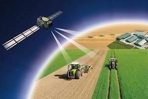
At NileOrbital, we turn satellite data into practical insights for agriculture, risk management and business planning. Through our software product, consulting services and satellite-data provision, we help farmers, organisations and decision-makers understand changing conditions and plan with greater confidence.
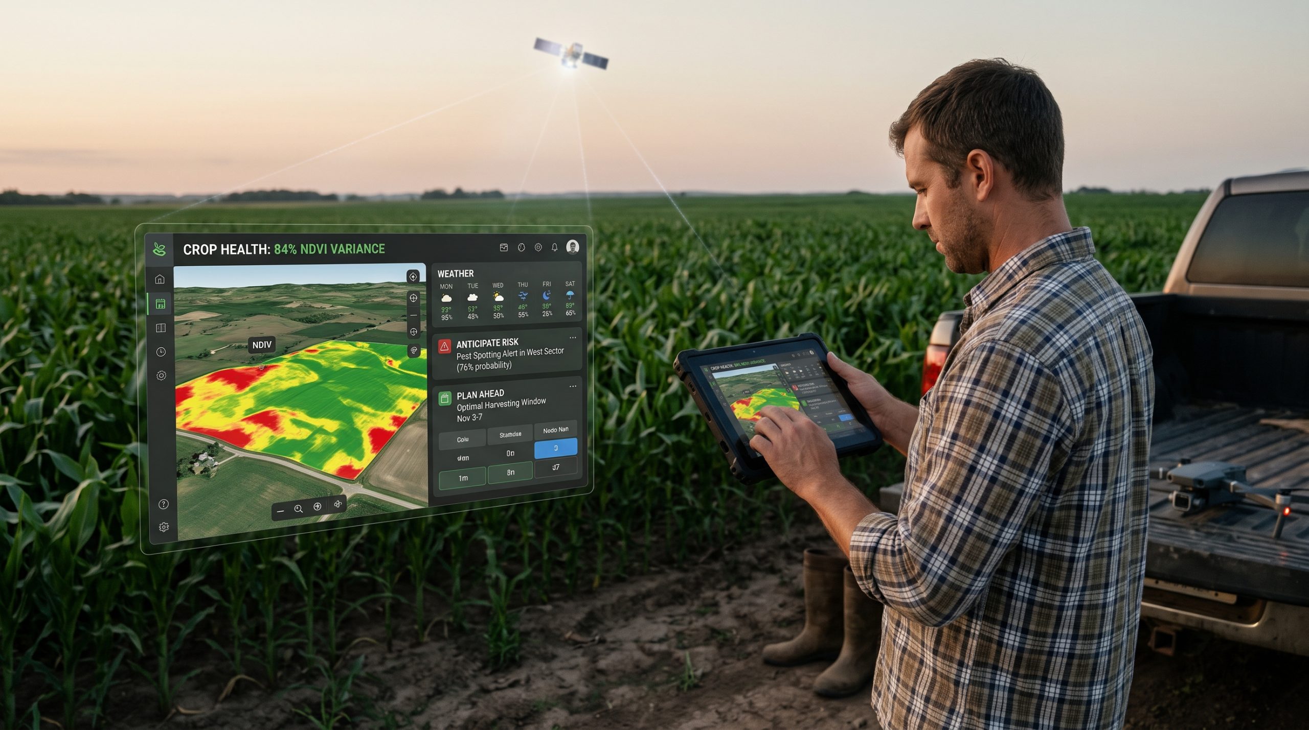
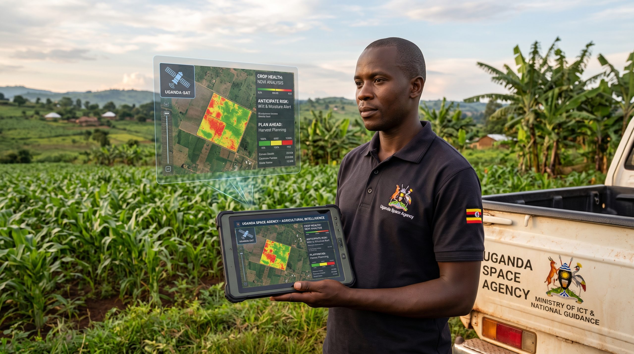
Understand Crop Health. Anticipate Risk. Plan Ahead.
Agricultural Intelligence Software
By translating complex observations into accessible insights, we help users identify emerging concerns and prioritise action. From monitoring individual farms to assessing wider agricultural regions, our focus is on providing information that supports timely, informed decisions.
Key capabilities:
- Crop health monitoring and prediction.
Early detection of emerging drought conditions.
- Identification of potential agricultural hazard indicators.
- Crop yield prediction to support production planning.
- Satellite-derived insights for targeted field assessment.
Understand Exposure. Strengthen Risk Assessment.
Insurance & Risk Consulting
Our consulting services connect Earth observation with the questions insurers face from understanding conditions across insured areas to reviewing evidence after a reported event. We work with clients to identify relevant data, interpret findings and integrate satellite-derived insights into their risk-management processes.
Areas of support:
- Agricultural and environmental risk assessment.
- Monitoring drought and other hazard-related conditions.
- Assessment of exposure across insured locations.
- Satellite-derived evidence to support claims review.
- Historical analysis to inform underwriting and product development.
Access the Data Your Project Needs.
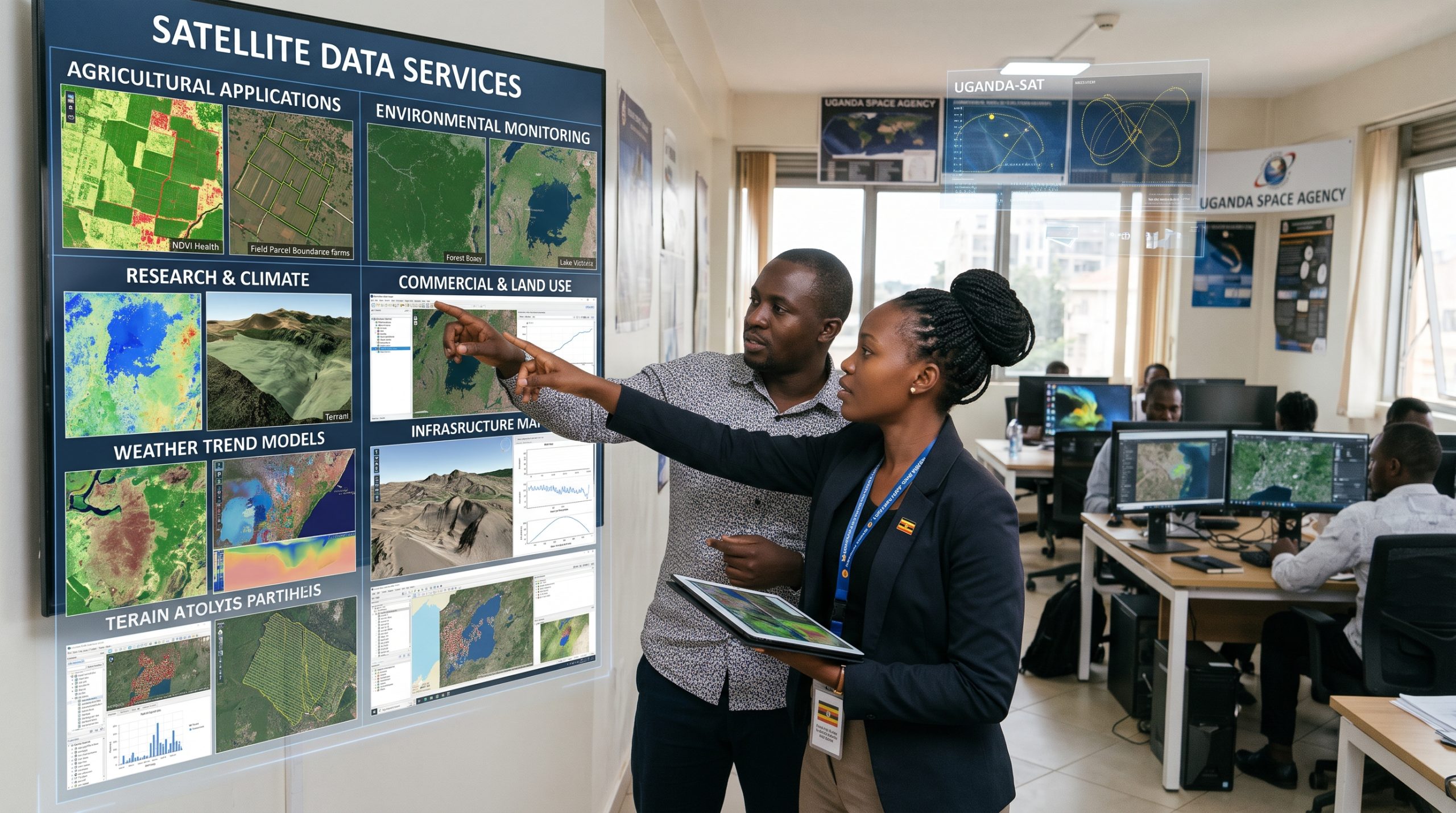
Satellite Data Services
We help clients identify suitable datasets for their location, timeframe and project objectives. Whether you need historical observations or data to support ongoing analysis, we work with you to define the requirements and understand the available options.
Our services include:
- Satellite-data sourcing and provision.
- Dataset selection for specific applications.
- Historical imagery and time-series data.
- Guidance on coverage, resolution and acquisition frequency.
- Support with data interpretation and suitability.
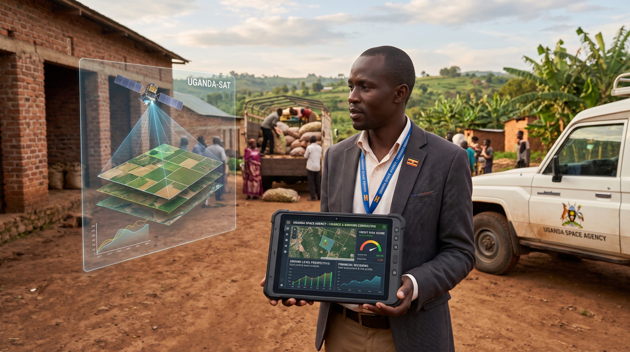
Bring a Ground-Level Perspective to Financial Decisions.
Finance & Banking Consulting
NileOrbital uses satellite data to provide an additional perspective on farmland, crop conditions and environmental exposure. Our consulting services help clients incorporate geospatial evidence into agricultural finance, portfolio monitoring and investment assessment alongside their existing financial and due-diligence processes.
Areas of support:
- Agricultural project and investment assessment.
- Crop-condition monitoring across financed farms.
- Drought and environmental exposure analysis.
- Geospatial insights for agricultural lending.
- Monitoring changing conditions across agricultural portfolios.
From Observation to Action
BECOME A PARTNER TODAY
Tell us what you need to understand crop performance, drought exposure, agricultural investment or environmental risk. We will help you identify the right combination of software, satellite data and consulting support.